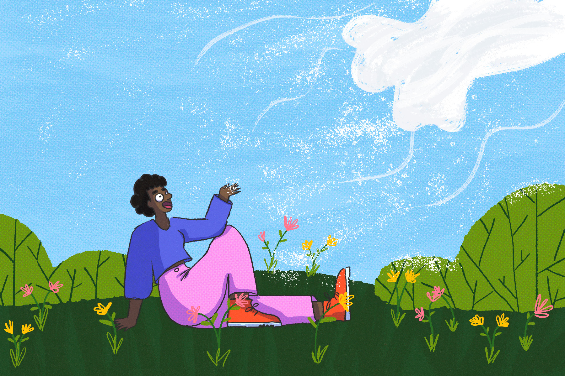
Spring is here, but winter conditions may not be done with us yet.
After a colder than normal winter – one with significantly more snow than usual – spring has finally arrived.
While many will be happy to put a snowy winter in the rearview, don’t write off the season just yet. David Phillips, climatologist emeritus with Environment and Climate Change Canada (ECCC), notes that from November through February, the Greater Toronto Area (GTA) has experienced colder than usual temperatures.
“Everyone will still have to see how March takes hold, but certainly up to this month, all those months have been more snow than you normally get. And you know that’s a surprise, because you often, in a colder winter, you don’t necessarily get as much snow because it’s arctic air. It’s dry air, and so, those years where you have lots of snow, it comes up from the south moist air, and then it bumps into the cold air, and you give these huge dumps of snow, but it tends to be kind of more, not as cold, but we’ve had the two,” said Phillips.
While March. 21 is generally the official start of winter, Toronto is not immune from getting snow in April or even May Phillips notes.
“This is not a forecast, but this is sort of a typical kind of 30 year average, when you look at the first day of spring, and then you look at April and May, include May; sometimes we get snow in May. Then, Toronto normally still gets 11 centimeters of snow, 9 per cent of our annual total, and maybe five days where the snow is going to fall. Well, I look next week and I see periods of snow today, I see flurries and snow on Tuesday and maybe Thursday, so we’re not finished with it yet. Now, I think you know, you don’t plow it, push it, because typically it warms up the next day, and it’s usually a one day wonder or melt day that arrives. But nevertheless, it is that kind of white winter precipitation that tells you that, hey, winter continues.”
Noting this is how spring should be, Phillips points to the casual thawing and warm up which we can expect to see, instead of a rapid increase to temperatures which are vastly above average.
“We go through this period of this kind of it’s not as if we go from slush to sweat, we go through this transition. This is what spring is. It’s sort of like winter wants to hold on, and summer wants to get a foothold. So, it’s this back and forth, yoyo, Whiplash kind of weather that is very frustrating, but it is very much what normally happens; the cold air is never too far from the warm air at this time of the year, and the chicken is right over top of you,” Phillips added.
So what does this mean for the weather as we say goodbye to March and welcome in April? Phillips says the reminder of this month may not be good, but the next will come with temperatures about seven degrees above what we’re currently experiencing right now.
The transition from March to April generally sees the greatest increase in temperature from one to the next says Phillips, so holding out a little longer will certainly help those who are just waiting for winter to say goodbye.
“So for April, our models are showing for Toronto and Ontario, generally, we’re showing warmer than normal. Precipitation is being hard to get. It’s always hard to get right and but what we’re showing for April is kind of normal to below normal. So doesn’t mean we won’t have April showers that probably get that but, but then the longer period, the April, May, June, which would be sort of the most of spring and then early summer. Conditions to be, again, sort of normal, to warmer than normal,” said Phillips. “Essentially winter will make an attempt to come back, but it’ll be short lived. It’s never returned to really intense of what winter is. I mean, you can get these surprise snowfalls that, oh my gosh, the moist air from the Gulf comes northward, and there’s some lingering cold air, and you get a real wet, wet, fleshy snow. But typically it’s here today and gone tomorrow, and so it’s not lasting.”